Drone Inspections & surveys in the North West & North Wales
Agricultural, Heritage & Property drones for Merseyside, Lancashire, Cheshire, Cumbria & North Wales
GET A FREE QUOTE: 0800 999 1295

Based in Southport, Merseyside and operating across the North West of England and North Wales. Image Surveys provides fast, accurate and cost-effective drone services for organisations, landowners, property & heritage professionals who need reliable aerial data — without the delay, cost or safety risk associated with working at height, scaffolding or access equipment.
We specialise in sectors where safety, precision and responsiveness genuinely matter including heritage buildings, agricultural land, environmental sites and emergency property damage.
Our drone operators combine advanced UAV technology with detailed reporting software to give you the quality of intelligence you need to act quickly and confidently in your business.
✅ CAA Licensed Pilots | ✅ Fully Insured | ✅ Google 5-Star Rated ✅ 24/7 Emergency Callout | ✅ All Work Guaranteed
Call 0800 999 1295
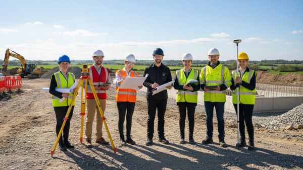
Our services are tailored for the heritage, property and agricultural industries
Environmental Surveys High-resolution aerial and ground based AI surveys & reports delivering orthomosaic maps, condition assessments and measurement data. Ideal for planning applications, project and environmental impact reports and regulatory reporting.
Building Inspections Safe, fast and detailed inspections of high rise buildings, condition reports, heritage properties ,monuments, facades and hard-to-reach structures — no scaffolding required. Covering commercial, residential and listed buildings across the North West.
Roof Inspections Fast turnaround roof surveys. We inspect all types of roofs, chimneys and high inaccessible structures to carry out checks on condition or check for damage
Aerial Mapping & 3D Modelling Precision 2D mapping and photorealistic 3D models for construction, land management, planning and infrastructure projects. Accurate, georeferenced and delivered rapidly. Create immersive and interactive digital twins
Counter-drone technology Not all drone users are legitimate in their intent. We can advise and supply blocking and tracking technology that prevents unwanted drone flights in sensitive areas where drone attacks can disrupt operations or risk public safety
Emergency Drone Inspections (24/7) Available around the clock for urgent callout following fire, flood, storm or structural damage. We deploy quickly across Merseyside, Lancashire and Cheshire to assess damage safely and support your insurance or recovery process.
Heritage Specialist drone surveys for listed buildings, historic structures and heritage funding applications. Non-invasive, precise and ideal for supporting Historic England and National Lottery Heritage Fund bids.
Agriculture Crop monitoring, drainage mapping, boundary surveys and land condition assessments for farms and estates across Lancashire and Cheshire. Faster and more cost-effective than traditional ground surveys.
Environment Habitat mapping, watercourse monitoring, ecological surveys and land change detection for environmental consultancies, conservation bodies and local authorities.
Property Management Planned maintenance inspections, condition surveys and roof assessments for facilities managers, housing associations and commercial property owners.
Professional services We supply specialist drone data for surveys, maps and inspections to help property professionals like architects, surveyors, valuers, planning consultants, insurance managers and legal teams where professional levels of accuracy and record keeping are required
Under UK health and safety law, working at height should be avoided wherever it's reasonably practicable. If a drone can do the inspection just as well, it should be your first option — not your last resort.
The Work at Height Regulations 2005 place a clear duty on whoever controls the work: avoid working at height wherever it is reasonably practicable, and only then prevent or minimise the risk of a fall. For years, inspecting a roof, chimney or façade meant scaffolding, ladders or rope access. That is no longer the default. When a drone can capture the same detail to the same standard, it becomes a recognised way of avoiding work at height altogether.
That makes a professional drone survey the safer, faster and more defensible first step — keeping people off ladders and out of danger while giving you high-resolution images, measurements and reports you can act on. Falls from height remain the single biggest cause of workplace fatalities in Great Britain, so choosing drone-first doesn't just protect your people; it helps you demonstrate that you've met your legal duty.
Why you should consider using a drone-first?
Not sure of the correct choice?
If you are not sure whether a drone can or can not do the job then call free on 0800 999 1295 for a no-obligation assessment. At least you will have a record that you considered the option.
Image Surveys operates primarily across Merseyside, Lancashire and Cheshire, with regular work throughout Cumbria, Yorkshire, Derbyshire and North Wales.
We cover the full North West of England for emergency callouts but can cover the whole of Northern England and North Wales for our other work
Key areas we work : Liverpool · Southport · Preston · Blackpool · Lancaster · Chester · Warrington · Wirral · Wigan · Burnley · Blackburn · Carlisle · North Wales
Our clients demand data that is accurate and fit for purpose so we guarantee it.


